perry woods - a history
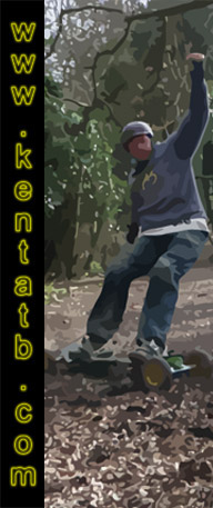
Now Perry woods may not be the most inspiring place to go riding. But we all know it well, and its benefits for honing your riding skills cannot be underestimated. It has to be one of the few places a complete novice or hardened dirt junkie can still get there fix.
I have often wondered whilst riding at Perry how this secluded yet peculiar spot of Kent woodland took its form. So I started to investigate on the net. These are my findings.
The significance, and the importance of Perry woods throughout history is only just starting to be discovered. But one thing is certain people have been attracted to this site for many thousands of years.
(1) THE DRAWING ROOM / THE BANDSTAND
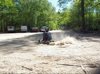
This is what you or I know as the car park. The origin as to why it is historically referred to as "The Drawing Room" are unknown. However it is logically thought the name of "The Bandstand" comes from when the Salvation Army used to play here regularly. It is also notable this area has been a meeting place for over a hundred years.
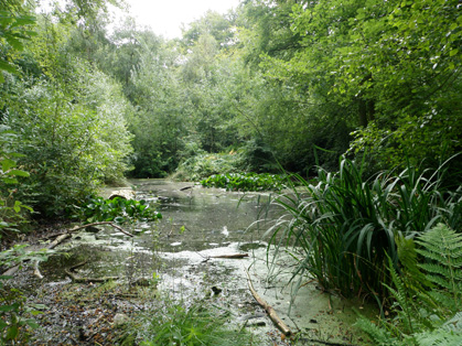
(2) THE POND
Little is know about this area, But it is shown on maps dating back to 1800 ! So suggests a area of some importance.
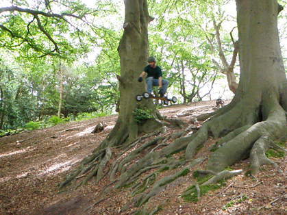
(3) THE BEECHES
Another area very little is known about. It has been record by one of Kent's earliest historians Edward Hasted. So again points to a site of some significance. It is in this area that you will find one of Kent's gnarliest drop offs. Also the infamous Badger trail can be found in this area
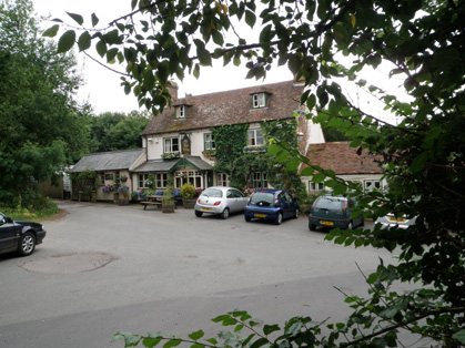
(4) THE ROSE & CROWN
Was originally built in the 1800's. The pubs beer garden used to be known as "The Tea Gardens" and some kind of cake selling establishment was next door.
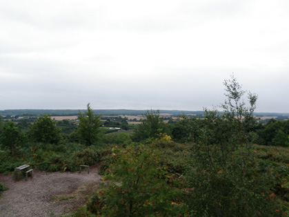
(5) THE MOUNT & THE PULPIT
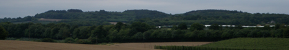
This is currently the site of the view point / look out tower. The views from here stretch down to Sandwich , Swale, and Kings wood. The tower although now replaced dates back to 1800's. Originally most of the mount was heath land and peat was extracted from here for fuel.
Pine trees were later planted. Many of these came down in the big storm of 1987. It is also thought that the site may not be natural landform and in fact a ancient burial mound.
A few short trails to ride can be found in this area.
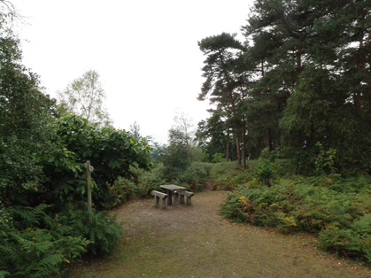
(6) WINDMILL HILL
This is the area with the picnic benches, on top of the hill .Behind where we go riding. The views and exposure from here make this site very significant in history. There used to be a windmill here as the name suggests. Unfortunately it fell down in the early 20th century. It was thought to be one of the earliest windmills in the country and dated back to at least 1596.
In the 1700's there used to be a Napoleonic signaling tower here. It was used as part of a semaphore chain linking London to the channel ports. At one time perhaps before tree coverage. The views stretched right across to Broadstairs.
This hill is also know as the site of a Roman camp and before that a Iron age fort.
For the mountainboarder there are a few downhill trails here, one of them is quite serious.
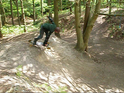
(7) THE OLD QUARRY
Originally part of windmill hill the site was quarried, in the mid 20th century. For the natural sands and gravel that can be found here. It was then re landscaped, planted with pine trees , and used as a picnic site.
These days it is the main area that lends itself to the past time of mountainboading. Heavily featured with jumps and banks. It is the area we all know and love.
Recently the landscape has started to change. Mainly by bikers excavating large amounts of sand to build short lived jumps. These type of jumps just crumble and blow away in the breeze.
Lets be part of history , not ruin it !